|
17 MAR 2019
LONG HAI - "A new trail, a new mountain, and a long walk to the down-down"
Hares: Flying Finn, Slipper
Hash Flasher: Secs Report: Secs
Another Sunday, another Hash, another trail and another Run Report - or so it seemed.
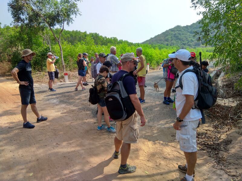
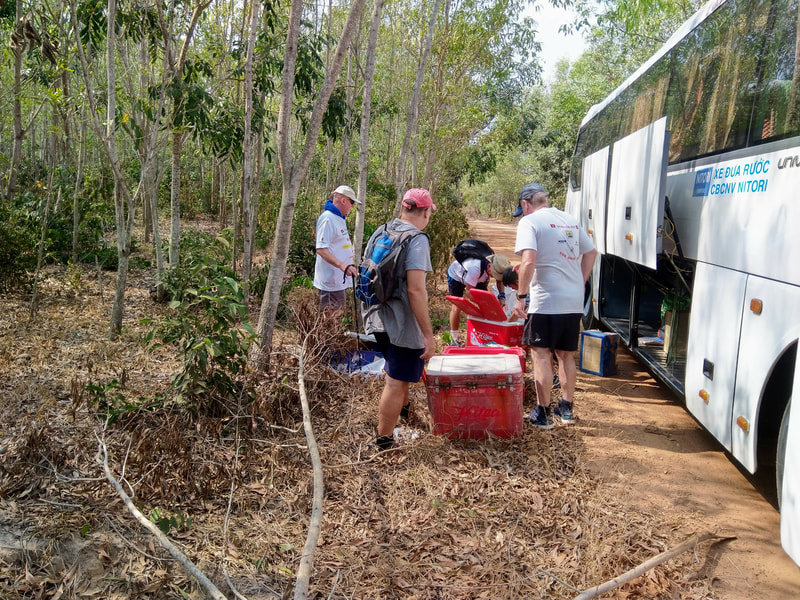
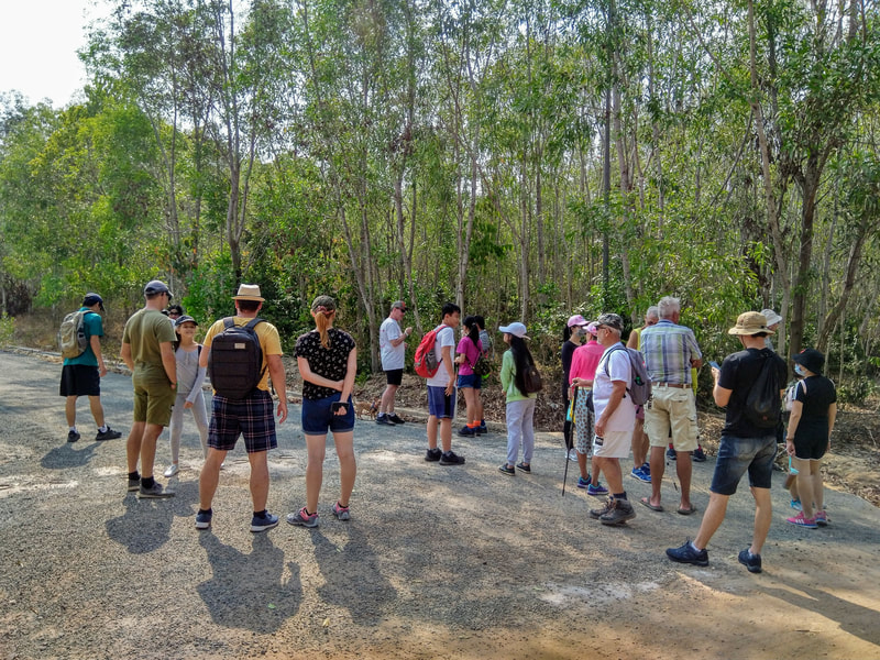
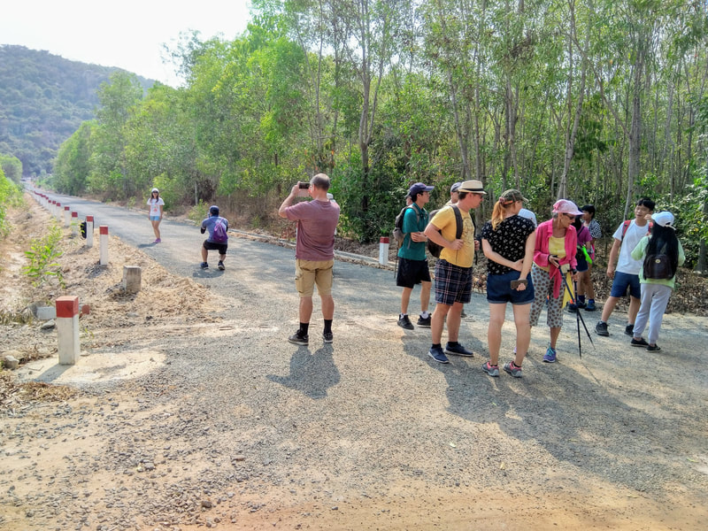
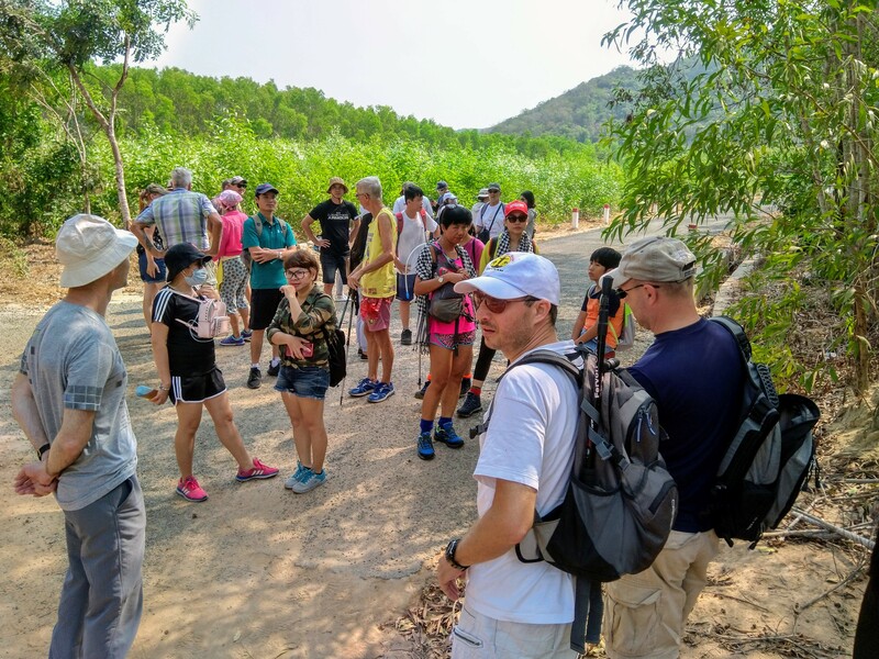
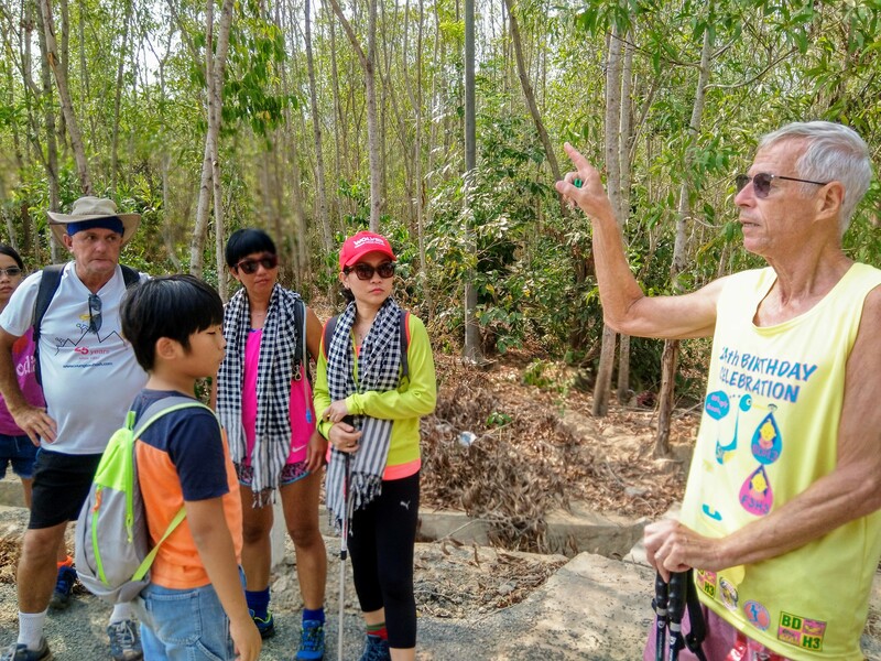
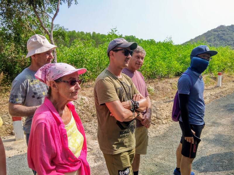
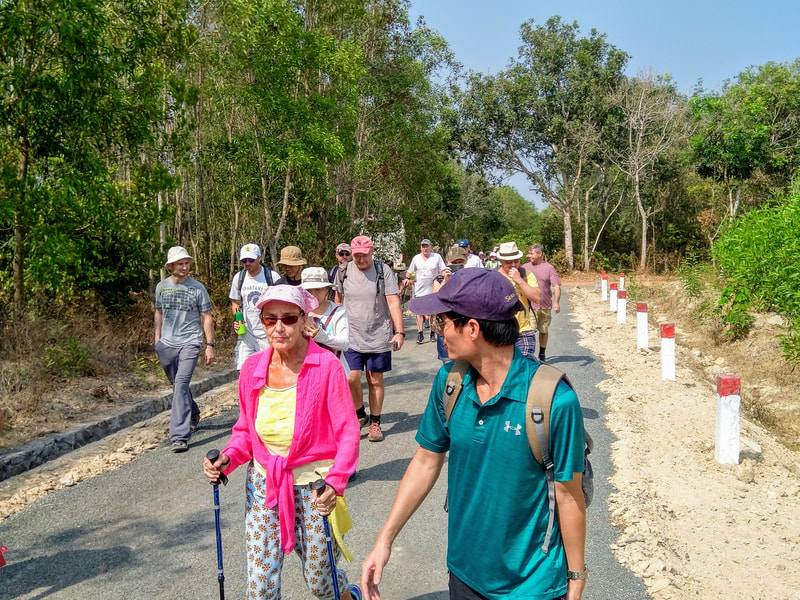
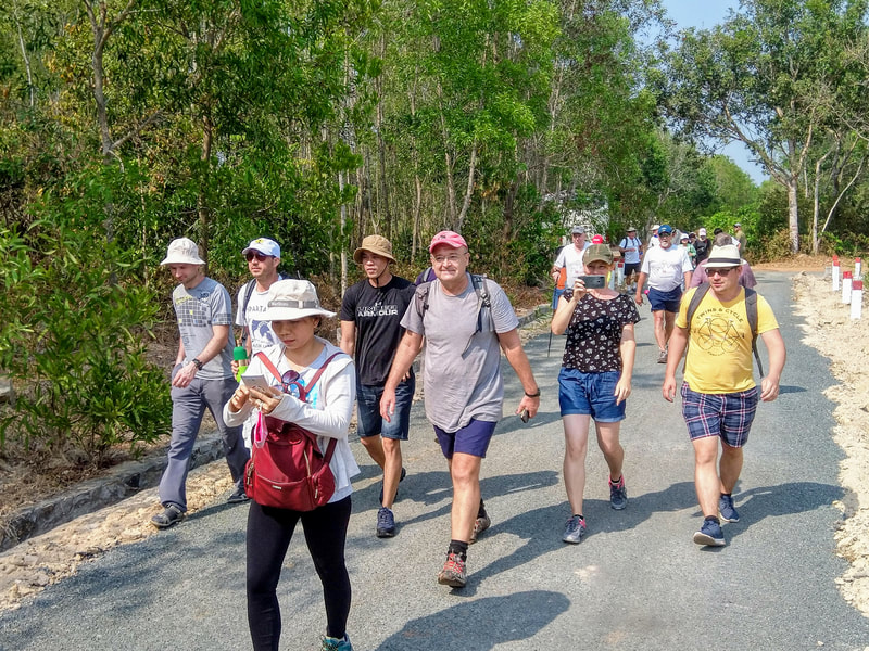
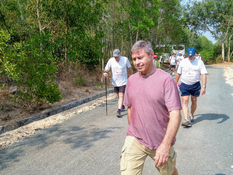
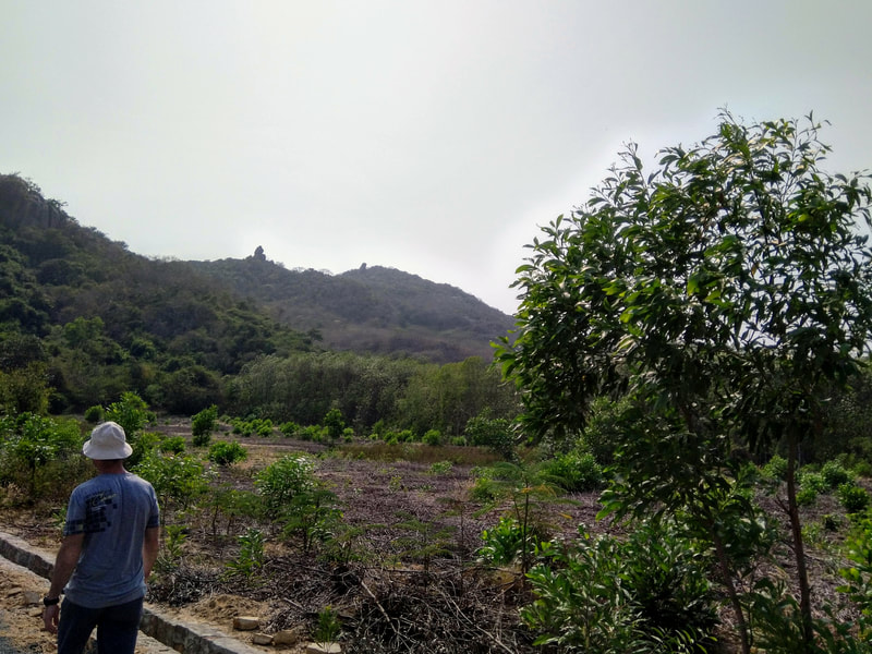
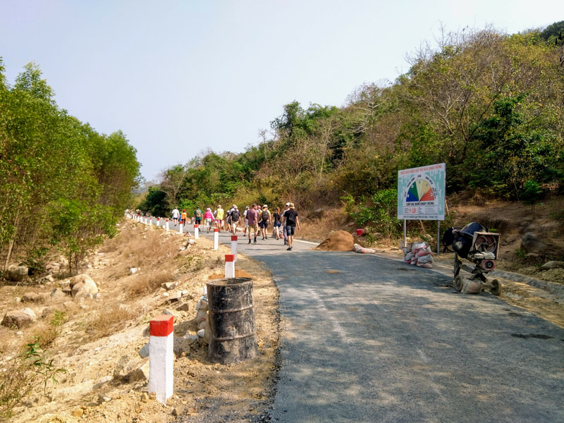
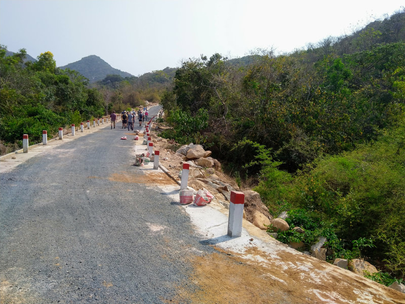
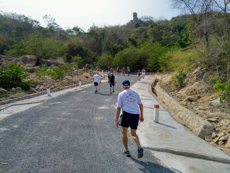
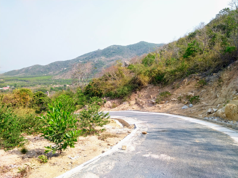
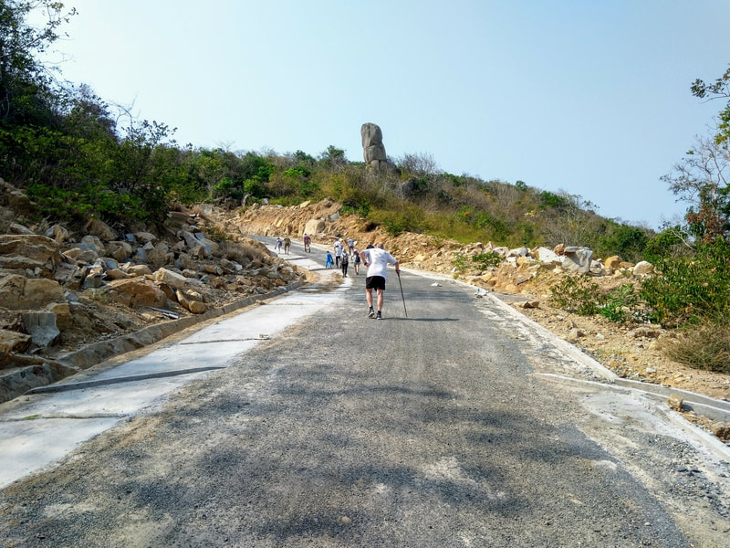
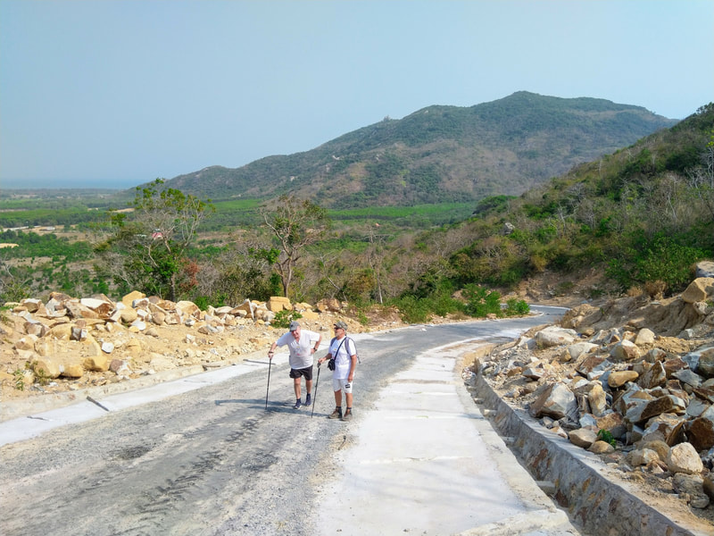
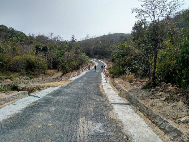
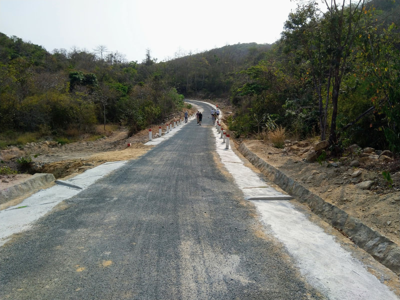
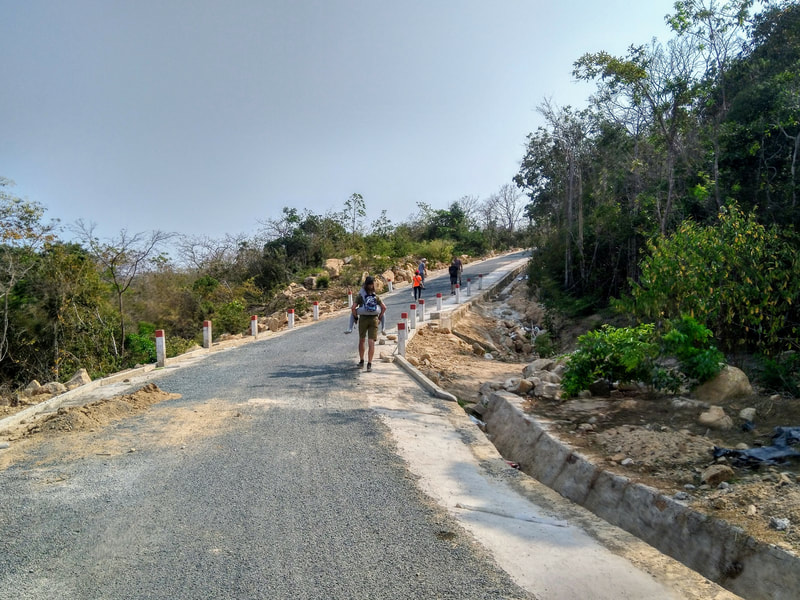
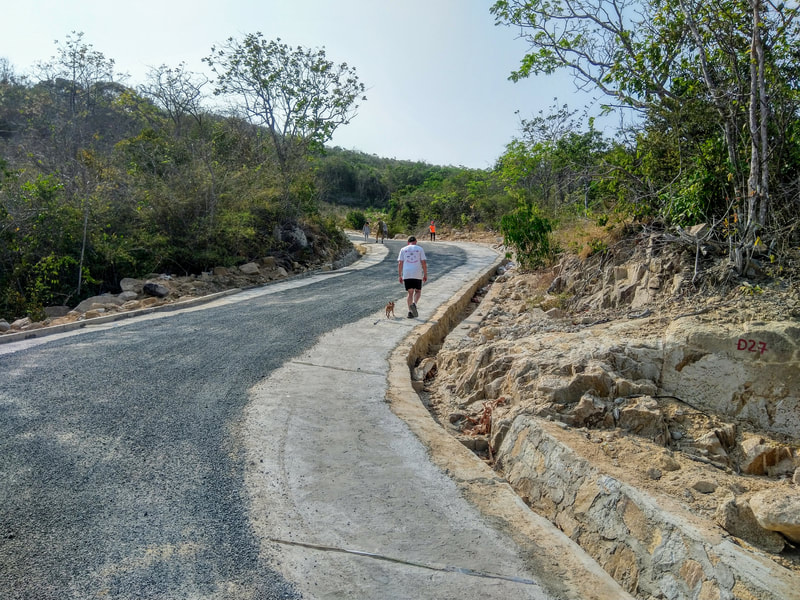
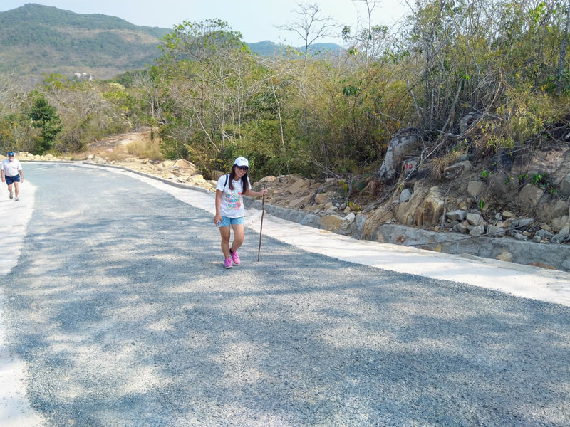
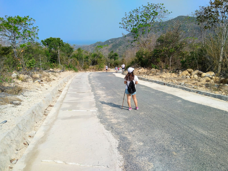
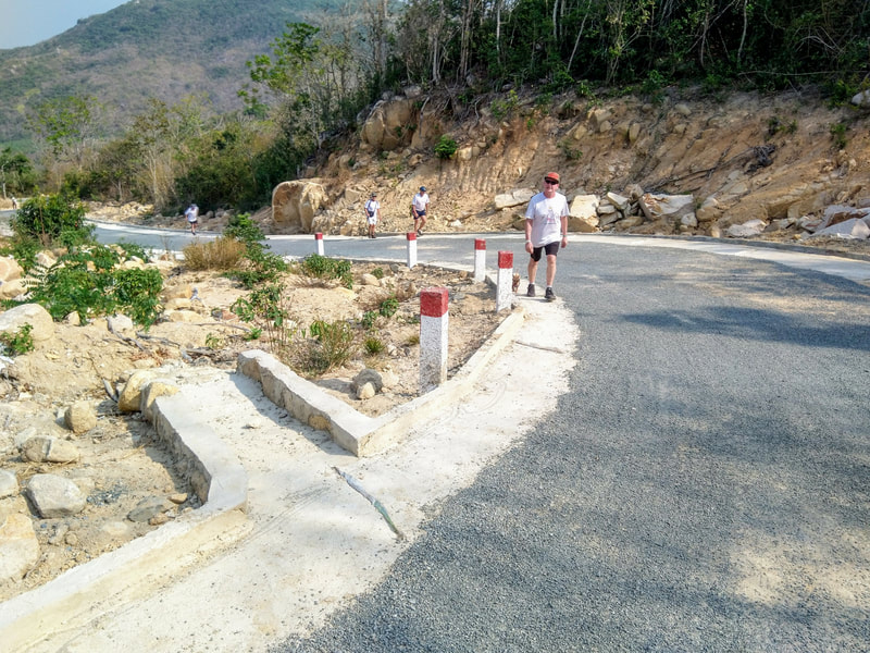
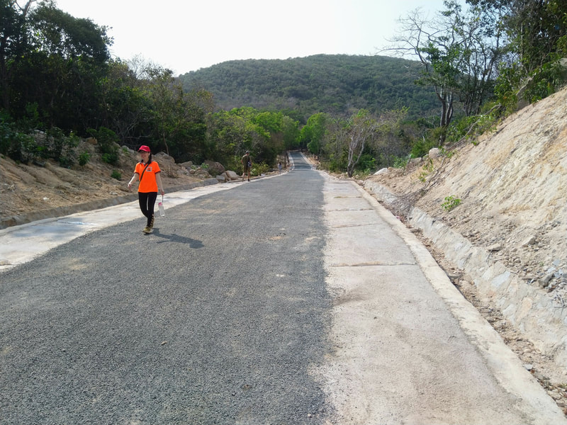
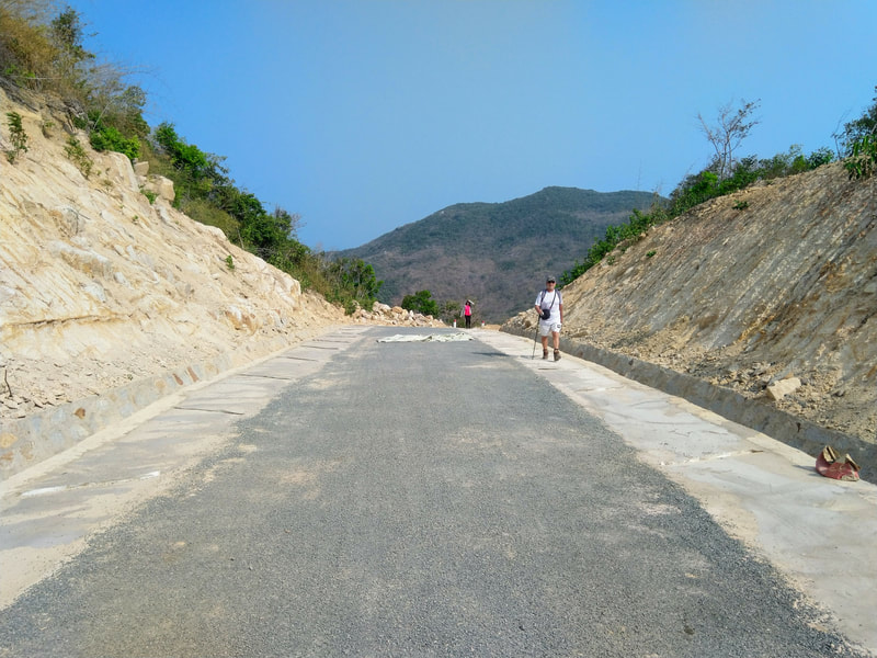
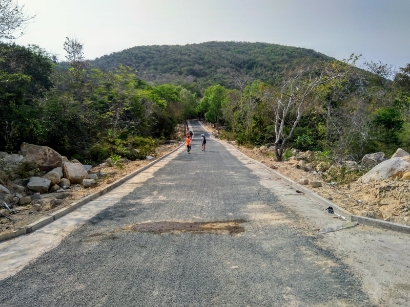
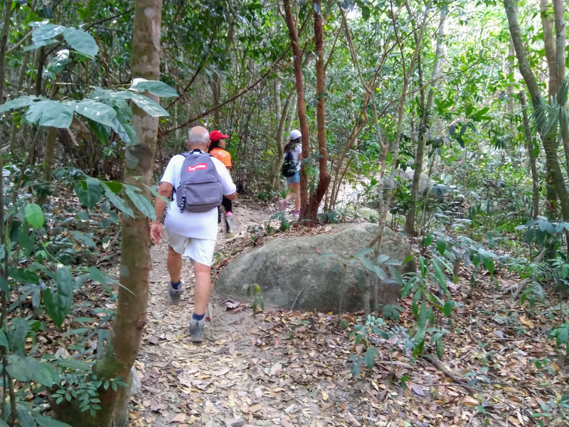
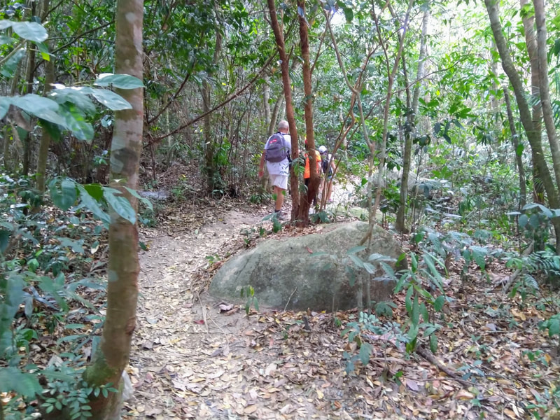
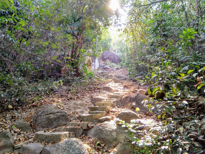
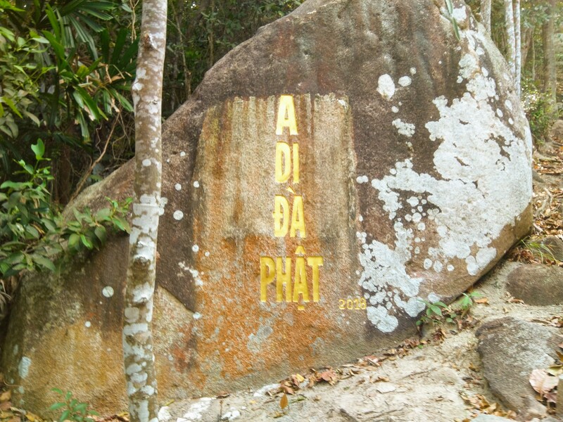
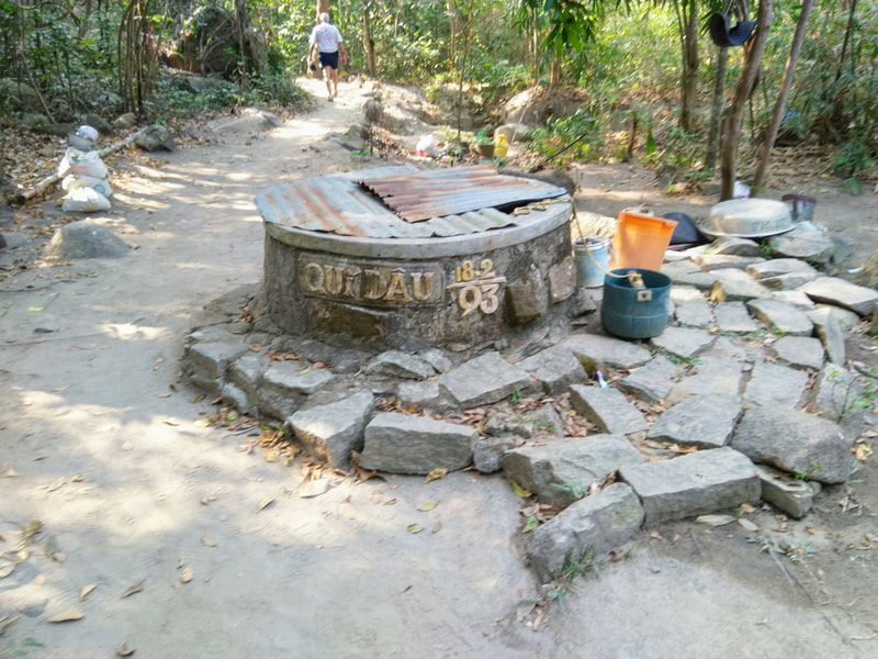
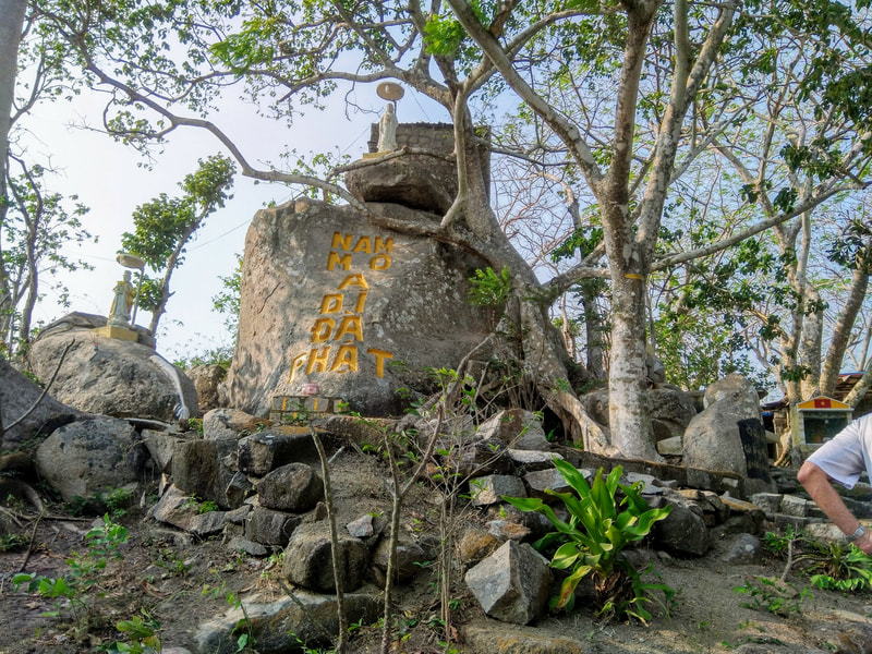
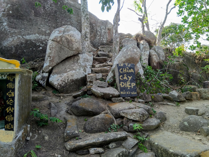
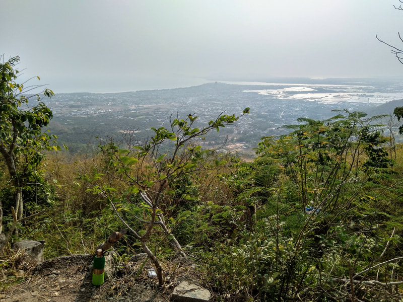
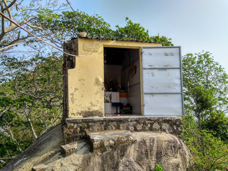
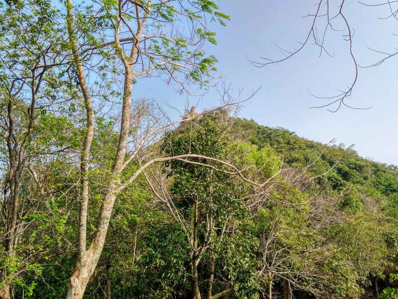
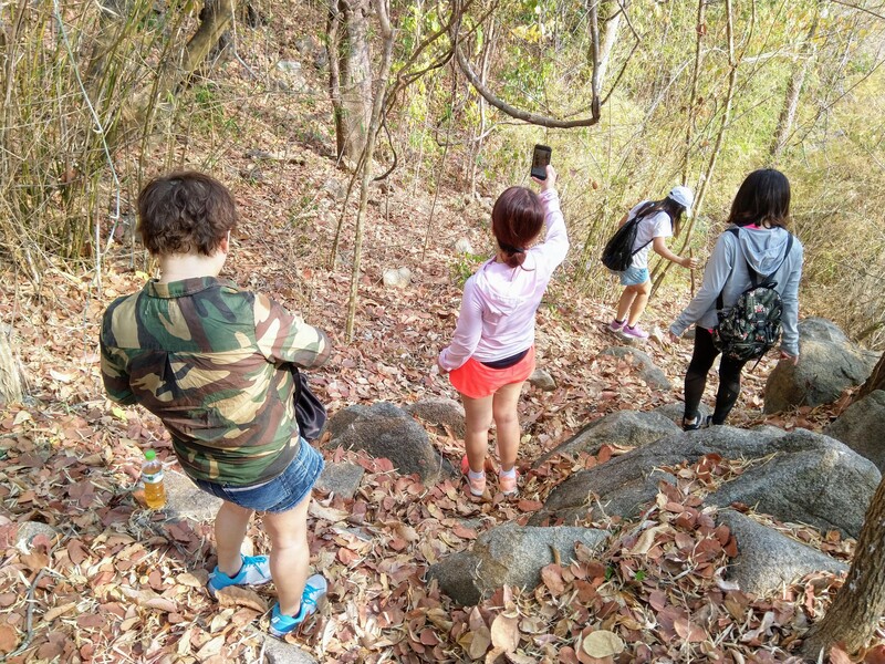
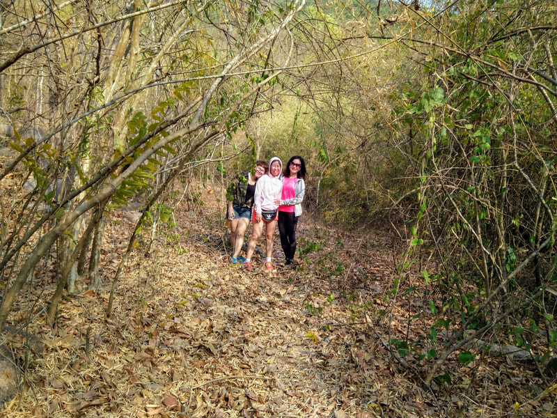
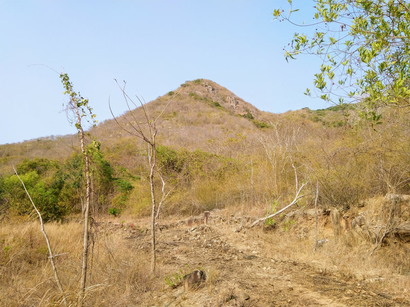
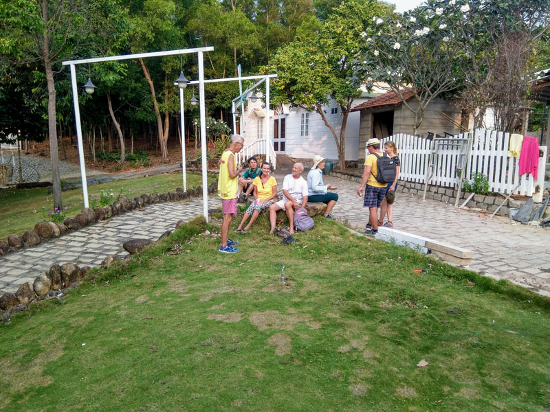
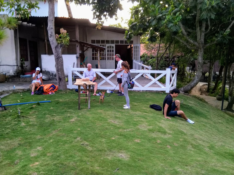
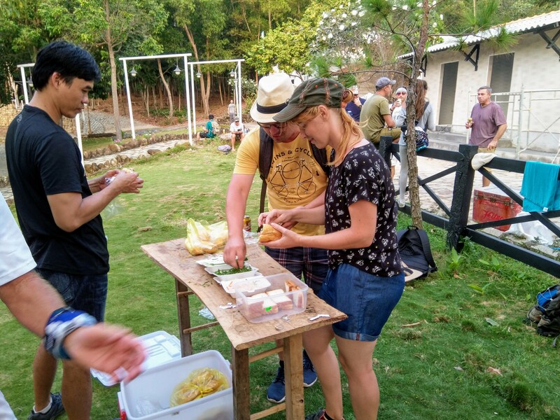
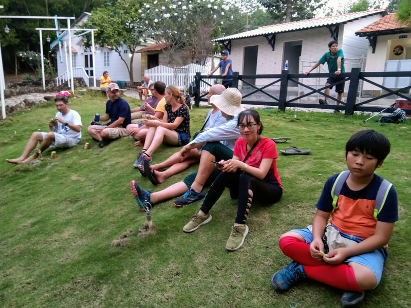
It started off pretty much as normal - Uno Coffee was buzzing with excitement, as eager Hashers lined up to pay their Run Fees; enthusiastic volunteers carted copious amounts of San Miguel and soft drinks from the storeroom, down three flights of stairs, and loaded it in to the eskies; Bahn Mi was delivered ready to be put on ice, but alas, the Iceman had not yet cometh - again. Several calls later and it’s apparent that the Iceman is just too busy to come today, so, we’re going to have to collect it ourselves. After stopping the bus at Hoàng Hoa Thám and walking to Phan Chu Trinh to collect the ice, we are soon on the Highway hurtling towards this week’s destination of Long Hải. Flying Finn, our Hare, had mentioned that this was a brand new trail and, as we approached Long Hải, Mismanagement figures we should clarify where we are starting so we can tell the bus driver where to go. Lucky we checked - it’s not just a new trail but a new mountain! For several months now, each time we visit Minh Dam mountain, many of our eagle eyed Hares have noticed the construction of a new road on the mountain opposite. A few weeks back Mr. T. drove a warren of Hares up the road to survey its Hashability. But it was the Fearless Finn Twins - Slipper and Flying Finn - who took the time and effort to actually spend last Friday creating a trail for us. So instead of heading towards Long Hải Town we took a left until we ended up at the beginning of the new road. As we gathered ourselves, we looked along the road, our eyes following it up to a horizon that was obscured by a seemingly massive mountain. Once the eskies were filled with ice, Flying Finn gave his chalk-talk - we going up the road to the very top and then follow the red tapes which will bring as down the other side and then back to the familiar down-down spot at Ngọc Xương Resort. It sounded so easy. Under a blistering hot sun, we began our ascent. Very quickly, it became very apparent that this was going to be a steep climb with not a lot of shade. The road deceptively meandered its way up the mountain, just when you thought there was going to be some respite from the punishing gradient, you turned a bend and were confronted we an even steeper section. However, as we ascended we were treated to some spectacular views - including a different perspective of the lookout at the top of Minh Dam - which just happened to be where we were last week. Eventually the road flattened out and came to an end where we found Slipper directing us in to the jungle. Ah - this was more like it - a nice shady jungle path - much more what we are used to. The well worn path continues to take us up the mountain, we pass some temple steps and we noticed that there are a lot of potential trails on this mountain that will have to be explored in the future. However, the red ribbons indicated that we were to pass these steps and continue on the path. Soon we see more signs of civilisation. We come across a stone water well in a clearing and then emerge at a pagoda perched on top a rock formation - more spectacular views! Not long after the pagoda we began our descent. A rocky path strewn with slippery dry leaves makes the going tough - not only that but this is even steeper than the way up. Step by step we gingerly make our way to the bottom and on to a main road. To some of us (Mr. T, Secs and some followers) this looked very familiar. “Ah, we know where we are”, we thought. “Just down this road and it’s short walk to the down-down”, we thought. With confidence we marched down the road. The road was much longer than we remembered, and after a while, we noticed we hadn’t seen a red ribbon in a while. “Not to worry,” we thought. “We know where are going”, we thought. As we got to the end of the road Secs checks Google maps - just to confirm we were right. “Hmm, oh crap,” we thought. Turns out we weren’t where we thought and had another 3.5km to go to the down-down!” So we walked the long, straight, exposed roads of Long Hải until we arrived at the down-down, exhausted and thirsty. We also noticed that there were some Hashers who were behind us back already. Yep - we definitely went wrong. Checking the GPS we ended up taking 2 hours 30 minutes to walk 10km with a 250m ascent. Flying Finn verified that yep, it should only have been 7.5km! Let that be lesson to all of us - if you don’t see a red ribbon for a while - it’s not a bad idea to go back and find the last one and try pick up the trail again. Anyway, it was a relief to be back at the serene Ngọc Xương Resort where we lounged on the grassy bank of the ornamental lake, gorging on Banh Mi and San Miguel. It was already nearly 6pm by the time everyone returned and, as daylight was beginning to fade, we took the team photo. With time and tiredness getting the better of us this week, we a had a reprieve from the Circle. The Hashmobile was loaded and boarded, back to Uno Coffee, where we unboarded and unloaded. Another great Sunday! Another great Hash! And an awesome new trail! And the end of the yet another Run Report!
VTH3 #881 PHOTO GALLERY
0 Comments
Leave a Reply. |
Archives
July 2024
|
All Content © Vung Tau City Hash House Harriers 2013 - 2023
Proudly powered by Weebly






 RSS Feed